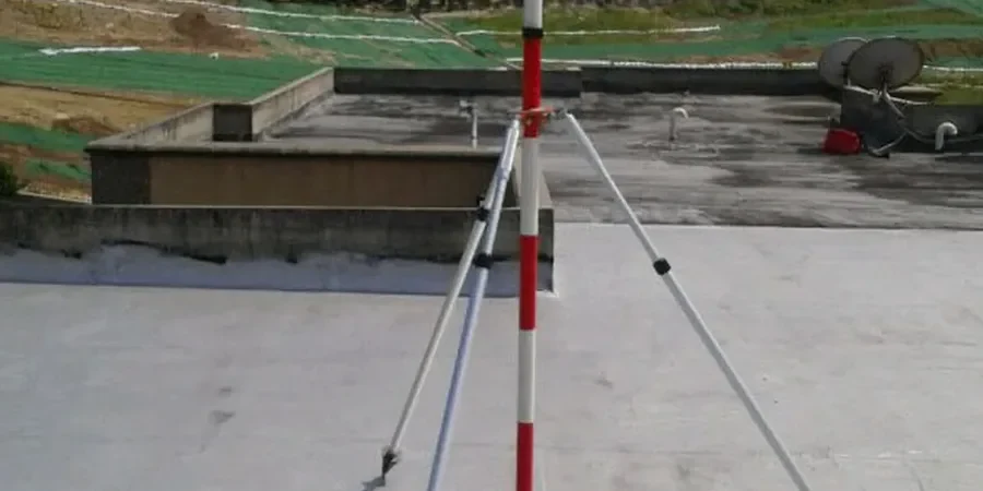
Total stations with automated prism tracking and in-place inclinometer strings are the backbone of what we deploy across Oxnard job sites. The coastal plain geology here, with its thick sequence of Holocene clays and silty sands, demands continuous surface and subsurface readings. A single setup near the Santa Clara River floodplain can involve vibrating wire piezometers, crack gauges on neighboring stucco homes, and tilt sensors on shoring soldier piles. The IBC places Ventura County in Seismic Design Category D, so our data feeds directly into the shoring designer’s deflection predictions. When trench cuts go deeper than 15 feet near the old downtown grid, real-time readings allow the contractor to adjust dewatering rates before groundwater drawdown triggers settlement in the mat foundations of adjacent historic buildings.
Lateral displacement in Oxnard’s hydraulic fill often starts at the fill–clay interface days before it becomes visible at the surface.
Our approach and scope
Oxnard’s expansion after the 1930s, when the sugar beet factory and port dredging reshaped the landscape, left a patchwork of engineered fill over compressible estuarine deposits. On sites near Channel Islands Boulevard, we often see 20 to 30 feet of loose hydraulic fill that wasn’t mechanically compacted to modern standards. Lateral movement in these fills can start days after excavation begins, particularly where the marine clay layer underneath acts as a slide plane. We track that displacement with inclinometer casings installed just behind the shoring wall, comparing measured profiles against the pre-construction baseline. The readings often reveal creep at the fill–clay interface that a visual inspection alone would miss. For deeper cuts where tieback anchors are used in the shoring, we complement the inclinometer array with load cells and optical survey points to verify that the anchors are holding design tension without overstressing the waler system.
Local geotechnical context
The most common mistake we see on Oxnard projects is treating the dewatering system and the monitoring plan as separate work packages. A contractor will install well points, pump around the clock, and then wonder why the inclinometer data shows 0.75 inches of movement toward the excavation. What actually happened: the pumping lowered pore pressure in a sand lens that extended under the adjacent street, consolidating the silt above it. Without piezometers in that specific stratum, no one sees the pressure drop until settlement cracks appear on the asphalt. We’ve had to walk several jobs back from this exact scenario by adding nested VW piezometers at multiple depths and correlating the pressure data with the survey readings. The IBC requirement for damage criteria on adjacent structures means that threshold values—typically 0.5 inches of settlement or 1:500 angular distortion—must be tied to automatic notification triggers, not end-of-day reports that arrive after the damage is done.
Common questions
What is the typical cost for excavation monitoring on a single-family lot in Oxnard?
For a standard residential excavation 8 to 12 feet deep near the Oxnard Plain, monitoring typically runs between US$720 and US$2.890 depending on duration, number of monitoring points, and whether vibrating wire piezometers are needed. A simple survey-prism-only setup for a weekend dig is on the lower end; a multi-week deep basement with inclinometers, piezometers, and adjacent crack gauges falls toward the upper end.
When does the IBC require monitoring of adjacent structures during excavation?
The IBC triggers monitoring when the zone of influence from the excavation extends beneath an adjacent structure. In Oxnard’s soft alluvial soils, that influence zone can be 1.5 to 2 times the excavation depth. The building official may also require a pre-construction survey and monitoring plan as a condition of the shoring permit, particularly in Seismic Design Category D where ground movement could compromise the lateral system of the neighboring building.
What groundwater challenges are specific to excavation monitoring in Oxnard?
The Oxnard Plain has a shallow groundwater table that can sit just 5 to 8 feet below grade during wet years, with perched water zones in the sandy lenses common near the Santa Clara River corridor. Our monitoring plan always nests piezometers at multiple depths to capture pressure changes in each water-bearing unit separately. Without this, a contractor might be dewatering a deeper aquifer while a shallower perched lens drains into the excavation undetected, causing localized settlement at the surface.
How quickly are exceedance alerts communicated to the project team?
Our automated total station and data logger systems push readings to a cloud platform every monitoring interval—typically every 30 minutes during active excavation. If a prism or inclinometer exceeds the threshold set in the monitoring plan, an SMS and email alert goes out to the superintendent, shoring designer, and geotechnical engineer within five minutes. We also run a daily manual check to verify the automated data against field observations.