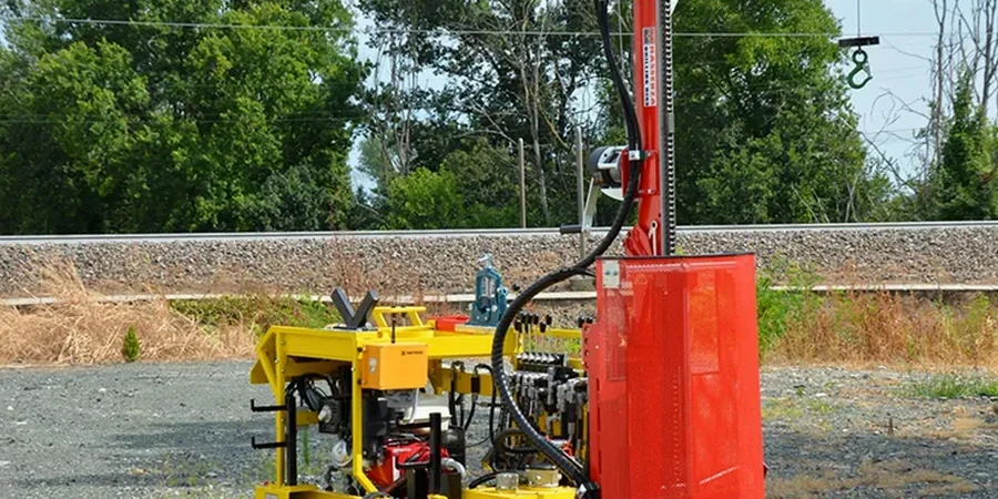
In Oxnard, the ground beneath your feet can change faster than you'd expect. We've pulled up samples near the Strawberry Fields where clean sands transition into silty clay within 30 feet laterally – and that shift dictates everything from footing size to whether you need deep foundations. The Standard Penetration Test is how we read that story before the first shovel hits the dirt. A split-spoon sampler driven by a 140-pound hammer falling 30 inches gives us N-values that correlate directly with relative density and consistency, following ASTM D1586 procedures from setup to blow count recording. You get numbers engineers can actually use. And in a city where the groundwater table sits high – often within 10 feet of grade across the Oxnard Plain – the SPT also tells us how the soil behaves when saturated. We pair it with CPT testing when the stratigraphy is complex or access is tight, and we reference grain size analysis to confirm field classifications from the split-spoon recovery.
N-values don't lie – but interpreting them without understanding Oxnard's alluvial layering will lead you to the wrong foundation type every time.
Local geotechnical context
The difference in SPT refusal between a site near Channel Islands Harbor and one up toward the Santa Clara River levee can be night and day. Near the coast, we consistently hit loose sands with N-values under 8 in the upper 20 feet – liquefaction risk is real, and the IBC seismic site classification often lands on Site Class E or F without ground improvement. Inland, toward the older terraces east of Rice Avenue, you might encounter stiff clays with N-values exceeding 25 by 15 feet depth, but then punch into a loose sand lens at 35 feet that nobody predicted. That's the hazard. Builders who skip the SPT campaign and rely on regional maps alone end up with differential settlement they didn't budget for. And in Oxnard's marine-influenced soils, sulfate attack on concrete is a secondary concern that only shows up once you have samples in hand for laboratory follow-up.
Common questions
How many SPT borings do I need for a typical Oxnard commercial lot?
The IBC requires at least one boring per 2,500 square feet of building footprint for sites in seismic design categories D and above – which covers most of Oxnard. For a typical half-acre commercial parcel, that translates to three to four borings spaced to capture stratigraphic variability across the site. We always recommend at least one boring near the property corner closest to any mapped fault trace.
What does SPT testing cost for a residential project in Oxnard?
For a single-family residential lot in Oxnard, an SPT investigation with two borings to 30 feet typically runs between US$580 and US$650 per boring, including the drill rig mobilization, split-spoon sampling, blow count logging, and a brief factual report. Deeper borings or additional laboratory testing adjust the scope.
Can SPT data tell me if my Oxnard site has liquefaction risk?
Yes, and it is the primary field method for liquefaction screening under ASCE 7 and the California Geological Survey guidelines. The N-value at each depth is corrected for overburden pressure and hammer energy, then compared against the cyclic stress ratio expected from the design earthquake. We flag any zone where the factor of safety drops below 1.2 so your structural engineer can address it.
How do you handle high groundwater during SPT drilling in Oxnard?
Groundwater in the Oxnard Plain is frequently encountered within the first 10 to 15 feet. We advance the hollow-stem auger through the saturated zone and record the water level at the start of each day, plus a stabilized reading 24 hours after drilling. The SPT is performed below the water table without issue; we simply note the saturated condition on the log because it affects N-value interpretation for liquefaction and settlement analysis.