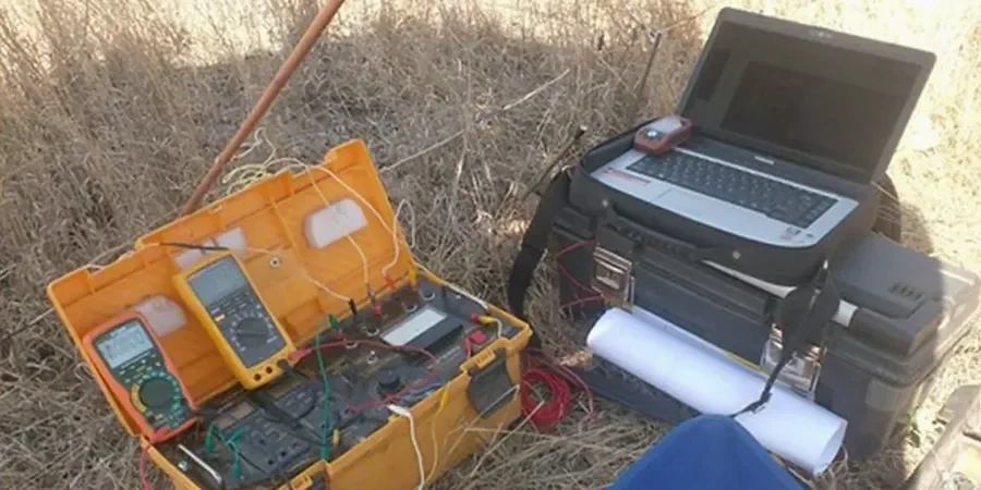
Oxnard sits at roughly 52 feet above sea level, perched on a coastal plain where the Santa Clara River has been depositing sediments for millennia. That geography creates a layered subsurface—clays, silts, sands, and sometimes saline water lenses—that can surprise even experienced contractors. When a standard boring log leaves gaps between boreholes, you need a continuous profile to connect the dots. Electrical resistivity, specifically Vertical Electrical Sounding (VES), fills that gap. Our team has run hundreds of these surveys across Ventura County, from the heavy ag soils near the Oxnard Plain to the sandy lenses closer to Port Hueneme. The method measures how easily current flows through the ground, which translates directly into soil type, water saturation, and potential corrosivity—three things that can make or break a foundation design, a pipeline route, or a groundwater basin study. Pairing VES with CPT soundings gives you both the mechanical and the electrical signature of the subsurface, a combination that saves rework on complex sites.
A single VES sounding line can replace three to five strategically placed boreholes, giving you a continuous resistivity cross-section at a fraction of the drilling cost.
Local geotechnical context
In Oxnard, we frequently encounter brackish groundwater within 15 to 30 feet of the surface, especially on properties west of Rice Avenue. Saline water drops resistivity values below 10 Ω·m, which can mask the signature of a clay layer or make a clean sand look like contaminated fill. If the geophysicist running the survey does not calibrate the inversion model for local salinity, the depth-to-bedrock estimate can be off by 20 percent or more—enough to mislocate pile tips or underestimate excavation dewatering needs. Another risk specific to the Oxnard Plain is the presence of buried agricultural drain tiles and old irrigation piping. Steel or clay tile fragments create localized conductivity anomalies that look like soil changes in the raw data. We cross-check every anomaly against available utility records and, when in doubt, recommend a targeted test pit to ground-truth the VES interpretation. That extra step has saved clients from chasing ghost features on more than one occasion.
Common questions
What does a VES survey in Oxnard typically cost?
For a standard Vertical Electrical Sounding with five to seven depth stations along a single line, the cost generally falls between US$580 and US$1,210 depending on access conditions, total line length, and whether we are correlating with existing boring data. Multi-line 2D imaging surveys or projects requiring traffic control on Oxnard arterials run toward the upper end of that range. Every quote includes mobilization within Ventura County, field acquisition, inversion processing, and a signed report. We do not charge extra for the first round of client revisions.
How deep can a resistivity survey see in Oxnard soils?
With the Schlumberger array we typically reach 100 to 150 feet of investigation depth on the Oxnard Plain, assuming we can lay out 600 to 800 feet of cable. Depth of penetration is roughly one-fifth to one-sixth of the maximum current electrode spacing, so a 600-foot spread gives reliable data to about 100 feet. Sites with high near-surface clay or brackish water may limit effective depth somewhat, but the inversion model accounts for that attenuation.
Can VES replace soil borings on my Oxnard project?
No—and we tell every client this upfront. VES provides a continuous profile of electrical properties, which correlates with soil type and saturation, but it does not give you a physical sample for lab testing. The smart approach is to use VES to connect the dots between borings, identify zones where additional sampling is warranted, and reduce the total number of drill holes. On large Oxnard commercial sites, clients typically cut boring counts by 30 to 50 percent after a well-targeted resistivity survey.
How long does a VES survey take, and when do I get results?
Fieldwork for a single sounding line takes one day on most Oxnard sites, plus a few hours for setup and demobilization. Multi-line 2D surveys may require two to three days. We deliver a preliminary resistivity profile within three business days so the design team can start working with the data. The final signed report, including correlation with any existing borings and ASTM D6431 compliance documentation, follows within five to seven business days.