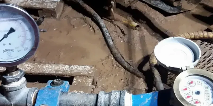
Oxnard’s coastal plain presents a unique challenge for builders: the groundwater table often sits just a few feet below the surface, and the layered alluvial sediments deposited by the Santa Clara River can shift from silty clays to loose sands within a single borehole. Anyone who has excavated for a parking garage near the Collection at RiverPark knows that a standard lab permeability test gives only a fragment of the picture—disturbed samples lose the fabric that controls how water actually moves through the ground. That’s why we run field permeability tests directly in the borehole, using the Lefranc method in soil and the Lugeon technique when bedrock is encountered, so the hydraulic conductivity values reflect the true in-situ conditions. When infiltration basins or dewatering systems are on the table, the difference between an estimated coefficient and a measured one can determine whether a project stays on schedule or faces costly groundwater surprises. For deeper exploration, combining this data with CPT testing helps map continuous soil behavior without sample disturbance, while a test pit program reveals macro-scale features like buried channels or organic lenses that influence lateral flow.
A site-specific permeability value from a staged Lefranc or Lugeon test can reduce dewatering overdesign by as much as 30 percent compared to conservative textbook estimates.
Local geotechnical context
The costliest mistake we observe in Oxnard projects is treating the entire subsurface as a single homogeneous permeability unit—averaging a high-conductivity sand seam with a low-conductivity clay and hoping the dewatering system will somehow split the difference. That approach fails because water doesn’t average; it follows the path of least resistance, and a thin, highly permeable lens can deliver more flow to an excavation than the sump pumps were sized for. The result can be base instability, heave in fine-grained soils, or complete flooding that stops work for weeks and requires emergency dewatering at three times the planned cost. A properly executed field permeability program with isolated test intervals identifies those critical seams before the contractor mobilizes pumps, allowing the dewatering design to target specific layers with well screens placed exactly where they’re needed. On the regulatory side, Ventura County and the City of Oxnard increasingly require site-specific infiltration rates for stormwater management plans, and a field permeability test provides defensible data that satisfies RWQCB review without the delays that come from using generic soil-type coefficients.
Common questions
What’s the difference between a Lefranc test and a Lugeon test, and when do I need each in Oxnard?
The Lefranc test measures permeability in soil by injecting or extracting water from an isolated section of a borehole—it’s the standard for sands, silts, and clays. The Lugeon test is designed for rock; it uses a multi-stage pressure sequence to evaluate how fractures open or close under different hydraulic heads. In Oxnard, most projects up to 30 feet depth only need Lefranc testing, but if your excavation encounters the caliche layers or fractured shale that appear in eastern parts of the city, switching to Lugeon protocol gives you rock mass permeability data that soil methods can’t provide.
How much does field permeability testing cost for a typical Oxnard project?
For a standard program with two to three Lefranc test intervals in soil, costs typically range from US$600 to US$1,200 per day depending on depth, number of intervals, and whether packer isolation is required. Adding Lugeon testing in rock extends the field time and increases the total, but most Oxnard projects complete the permeability investigation within a single mobilization when we coordinate testing with the drilling schedule.
How long does it take to get results from a field permeability test?
Field data is recorded in real time during each test interval—flow rates and pressure readings are logged digitally on site. We typically deliver a preliminary summary with the interpreted hydraulic conductivity values within 24 to 48 hours of completing the fieldwork, so your design team can move forward with dewatering or infiltration calculations without waiting for the full geotechnical report.